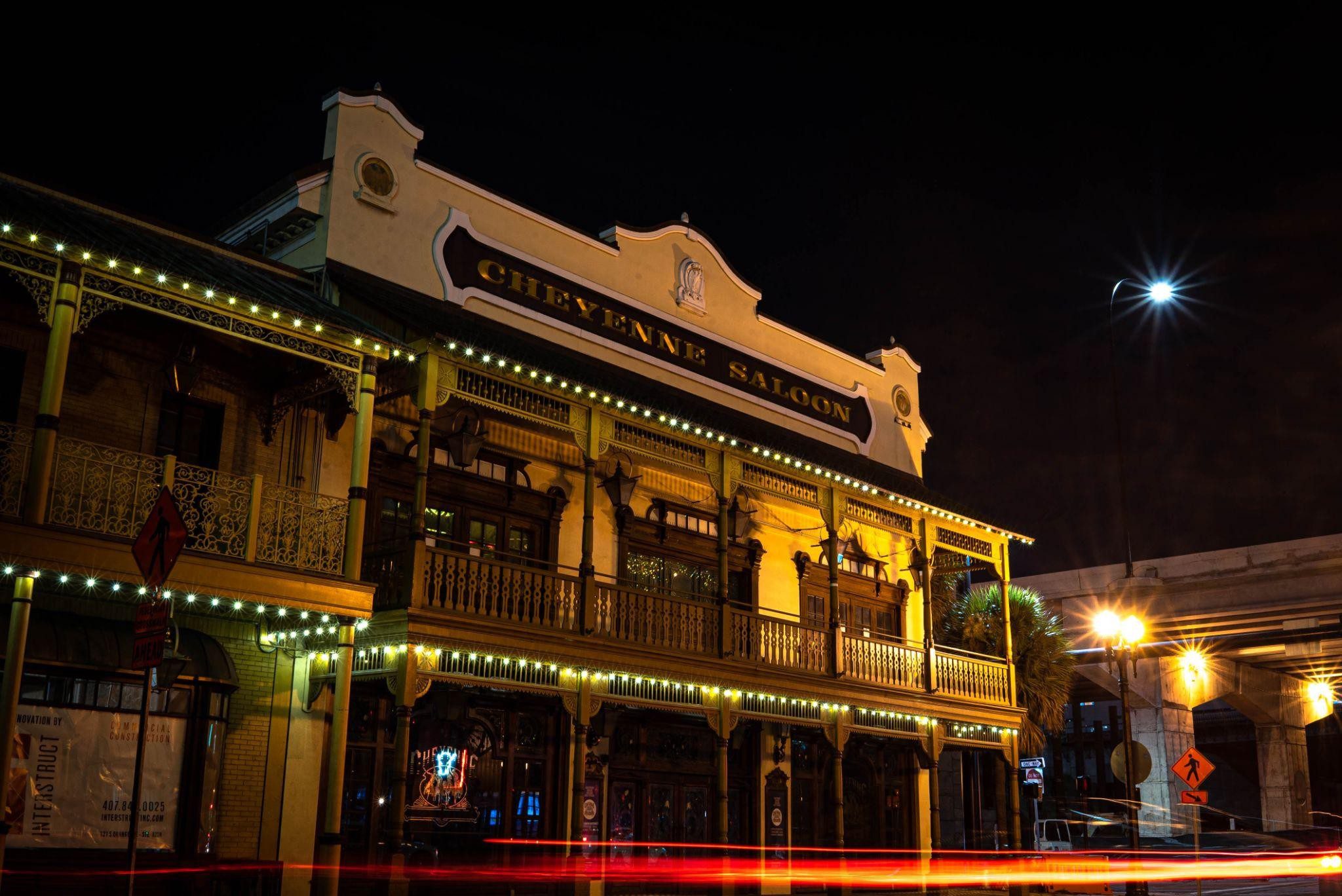
Why Orlando Built A 3D Map Of The City
Why Orlando built a 3D map of the city. Orlando built a 3D map of the city because we want to remind people that we have more to offer than theme parks and pub subs. How do we do this? With a virtual depiction of the city and the surrounding area. Why was this done? It was to help cement the city as an emerging tech hub.
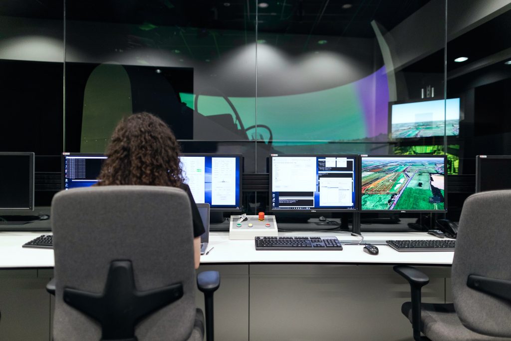
Using the popular Unity game platform, city officials created the 3D map to show to businesses hoping to relocate to our city. Orlando officials are also exploring this tech for use in everything from climate crisis preparedness to plotting the construction of new cell towers.
“Traditionally, when we have a company come to Orlando to check us out…we would show them a very long PowerPoint with all sorts of data points and information, probably like 80 slides worth,” Laureen Martinez, VP of marketing and communications at the Orlando Economic Partnership, said. “During the pandemic, we started to think and rethink about how we can leverage technology, what we can do to make us different [from] other communities, but also make that presentation process more engaging.”
A Digital Win For Orlando
Juan Santos, the Senior Vice president of brand experience and innovation for the Tavistock Group, who supervises a related digital identical model focused on the Lake Nona region, compared the project to a real-life version of the classic game SimCity, with the exception that this is used for new development projects.
The project comes as digital doppelgangers, or virtual models of physical properties, have become an increasingly popular way for businesses and other establishments to model everything from employee training to engineering simulations.
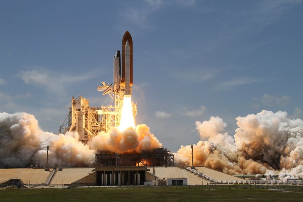
Orlando Was Transformed Before
Orlando was transformed by the space race back in the ’60s and the establishment of Walt Disney World, Orlando officials said the city already has a leg up in the race to position this technology. The use of virtual simulations to model space and military situations has made it a center for this kind of technology, according to Santos, and we already bill ourselves as the “model, simulation, and training capital of the world.”
“The modeling, simulation, and training aspect of it—we’ve been in that for years,” Mayor Buddy Dyer told sources.
How Much Did It Cost?
Orlando spent more than $1 million on building the virtual depiction with Unity. City leaders are upbeat that it will pay off in its capability to model assets like cell towers and power lines, and for hurricane preparedness, thanks to the integration of various data layers into the map.
Mayor Buddy Dyer said this project is part of a larger, ongoing drive to ensure that Orlando is a “future-ready city” that can support its growing number of tech companies.
Park Ave Magazine
If you would like to be a part of the conversation with Park Ave Magazine, be sure to check out our newest blogs, articles, food reviews, and events going on in our local community. Park Ave Magazine is full of fun and exciting articles, art, photography, and trivia about the city and Central Florida. We want to thank everyone who has put time and effort in to make Park Ave Magazine a household name. We encourage all of our local friends to do their part to keep us updated with information because we want you to tell us what you would like to see us cover.
With new events, articles, and information being released on a regular basis, sign up for our newsletter and stay in the loop with all the exciting news. Meet all the wonderful people that make Winter Park, Orlando, and the areas around Central Florida an incredible place to work, play, and live. Check it out yourself at https://parkavemagazine.com/